


 VIEW YOUR SHOPPING CART
 Celtic Nations Flag Bunting
 Brittany Map Print: Gouvernement de Bretagne 1751
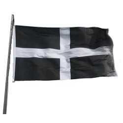 Cornish National Flag (150x90cm / 5x3ft)
Celtic Countries Shop is the online store for people who enjoy the Celtic nations, their natural splendour, culture, and lifestyles.
Terms & Conditions
Shipping & Returns
Contact Us

+ A colourful map of Cornwall, from John Speed's "Theatre of the Empire of Great Britaine", published in 1611.
+ One of the most famous and decorative of all British county maps, English cartographer John Speed Speed relied on the previous work of John Norden (1548-c.1625) as the source for this map.
This map is available in the following sizes:
[A2] 59x42 cm (23.4'' x 16.5'')
[B2] 70 x 50 cm (27.5'' x 19.6'')
[A1] 84x59cm (33.1'' x 23.4'')

Celtic Countries Shop is the online store for people who enjoy the Celtic nations, their natural splendour, culture, and lifestyles.
Terms & Conditions
Shipping & Returns
Contact Us